














Help Us Bypass Censorship. Share This.
Sign up to receive Our Weekly Briefing Newsletter
Begin your journey with weekly insights designed to expand awareness and ground you in truth. Our free tier gives you a powerful introduction without any commitment.
RECORD HEAT • EUROPEAN WILDFIRES • HISTORIC FLOODING • PACIFIC HURRICANES • ASIAN TYPHOONS • DROUGHT & WATER STRESS
“Extreme weather is no longer arriving one event at a time. Increasingly, the story is the convergence of extremes unfolding across different regions at the same time.” — GAR
A MONTH OF EXTREMES
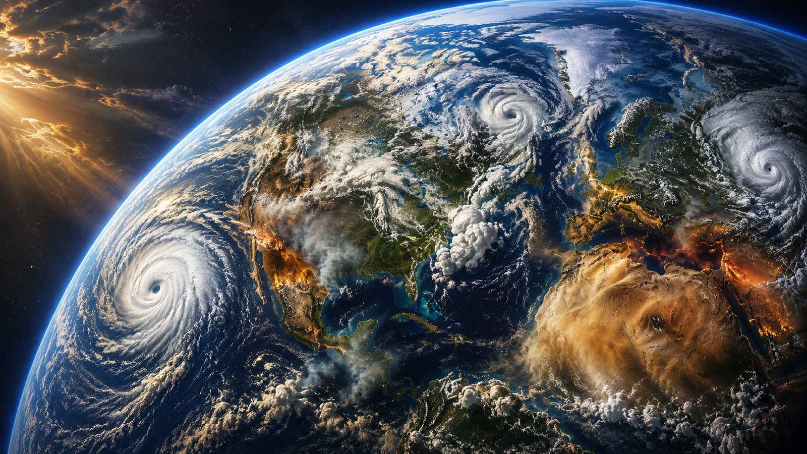
As of August 20, 2026, the month has produced a striking mix of record heat, major wildfires, destructive flooding, severe storms, drought, and unusually active tropical weather in the Central Pacific.
The pattern extends beyond August itself. The World Meteorological Organization described July and early August as a period defined by record land and sea-surface temperatures alongside heat, drought, fire and floods. Western Europe experienced its hottest June–July period on record, while parts of Asia and North America also experienced exceptional heat. At the same time, heavy rainfall and flooding affected communities across the United States, China, India and other parts of Asia.
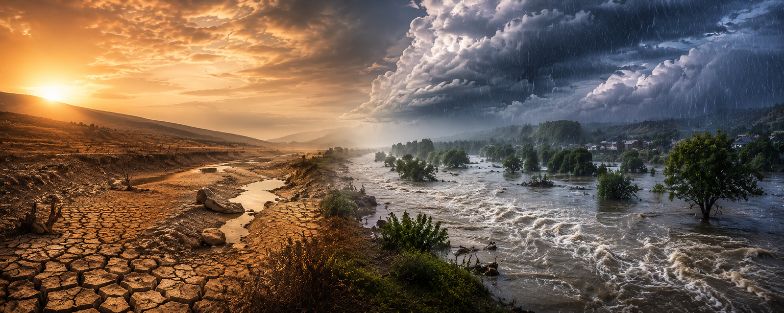
What makes August noteworthy is not one dominant disaster, but the number of different extremes occurring simultaneously. Some regions are confronting too little water. Others are receiving extraordinary amounts of it. Heat and drought are feeding major fires across Europe while tropical systems and monsoon rains are producing destructive flooding thousands of miles away.
Taken together, the events offer a striking snapshot of an increasingly dynamic global weather environment.
HAWAII | AN UNUSUAL CENTRAL PACIFIC STORY
One of the month’s most consequential U.S. weather stories has unfolded far from the continental mainland.
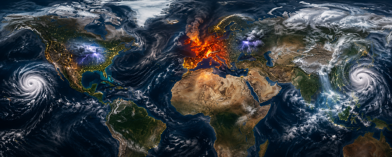
Hurricane Lala brought destructive winds and extraordinary rainfall to Hawaii, particularly the Big Island, triggering flash flooding, damaging homes and infrastructure, uprooting trees and causing widespread power outages. At least two deaths have been reported in connection with the storm, while some communities continue to deal with damaged roads, disrupted utilities and an extended recovery.
The rainfall was particularly significant. Some locations received extraordinary totals as the storm interacted with Hawaii’s mountainous terrain, where tropical moisture can be rapidly lifted and concentrated into intense precipitation.
Yet Lala may not be the end of Hawaii’s August weather story.
Another tropical system is developing southeast of the islands and is expected to approach the region over the weekend. Current forecasts suggest the greatest threat may once again be water rather than wind, with very heavy rainfall possible across portions of the Big Island and Maui. Because soils remain saturated from Lala, additional rain could quickly increase the risk of flash flooding and landslides.
For Hawaii, two tropical systems arriving within such a short period make the Central Pacific one of the most important regions to watch through the remainder of August.
EUROPE | HEAT, DROUGHT & FIRE
Across Europe, a very different weather pattern has dominated the summer.
Persistent heat and unusually dry conditions have created dangerous wildfire conditions across large portions of the continent. Numerous temperature records fell during early August, particularly across central Europe and the Balkans, while Western Europe entered August following its hottest combined June–July period on record.
The consequences have been substantial.
By mid-August, wildfires had burned more than 576,000 hectares across Europe—an area more than twice the size of Luxembourg. Belgium experienced the largest wildfire in its recorded history when approximately 3,000 hectares burned across the High Fens nature reserve, requiring hundreds of firefighters, military personnel, farmers and aircraft to contain the blaze.
Major fires have also affected France, Spain, Portugal, Greece, Croatia and other Balkan countries.
In Greece, fires forced evacuations and destroyed homes, including a destructive outbreak on the island of Salamina near Athens. France has experienced one of its most severe fire seasons in decades, while Spain and Portugal have repeatedly faced dangerous combinations of heat, wind and dry vegetation.
These events illustrate an important relationship that has become increasingly visible during recent summers:
Heat dries the landscape. Drought reduces soil and vegetation moisture. Wind accelerates fire spread. And once a major fire begins, each of those conditions makes it considerably more difficult to control.
GERMANY | WHEN THE ATMOSPHERE TURNS VIOLENT
The European story has not been limited to heat and wildfire.
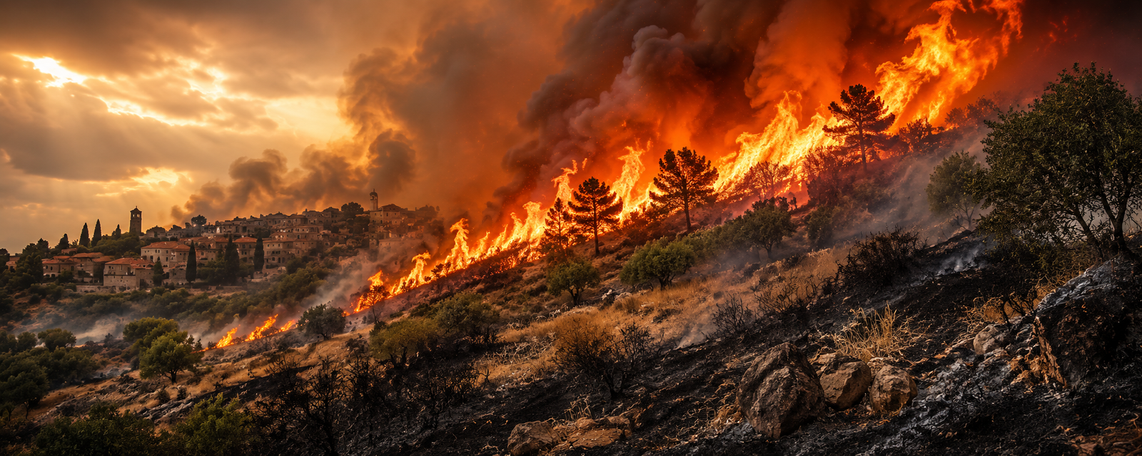
Around August 19–20, powerful thunderstorms swept across parts of Germany, uprooting trees, damaging buildings, disrupting electricity and transportation, and killing at least one person.
A tornado was confirmed in Fürstenwalde, southeast of Berlin, where roofs and structures were damaged and at least one person was injured. Additional tornado damage was reported elsewhere as intense thunderstorms moved across the country.
The contrast was striking. While parts of Europe continued battling drought and wildfire, other areas were dealing with destructive thunderstorms, intense rainfall and rotating storms.
It is another example of why broad regional averages often fail to capture what individual communities actually experience.
THE UNITED STATES | WATER BECOMES THE STORY
In the American Midwest, August’s defining weather event has been water.
Beginning around August 11, repeated rounds of thunderstorms produced extraordinary rainfall across Indiana and neighboring states. Some areas received more than 11 inches of rain, overwhelming drainage systems, inundating roads and neighborhoods and sending rivers rapidly above flood stage.
At least seven people died in Indiana during the storms and flooding.
The White River reached historic levels in several communities, while hundreds of homes were evacuated and emergency crews conducted water rescues. Roads and bridges were damaged, vehicles became stranded or submerged, and widespread power outages accompanied the storms.
The flooding became one of Indiana’s most significant weather disasters in decades before the broader storm system continued eastward.
Farther south, West Virginia also experienced deadly flooding after a vehicle was swept away.
The Midwest event demonstrates one of the recurring characteristics of recent extreme-weather episodes: rainfall does not necessarily need to come from a hurricane to become catastrophic. Slow-moving thunderstorms repeatedly crossing the same area can produce enormous rainfall totals within a relatively short period.
ASIA | TYPHOONS & MONSOON FLOODING
Across Asia, water has also been central to the August story.
Typhoon Dolphin became China’s most powerful typhoon of 2026 to that point, bringing strong winds and torrential rainfall as it moved inland. Chinese authorities mobilized emergency response operations and evacuations ahead of the storm as concerns grew over flooding, landslides and reservoir levels.
In Beijing, rainfall rates reportedly reached 88.5 millimeters per hour during some of the heaviest precipitation. Other regions, including parts of Hubei, experienced flooding and heightened landslide concerns as the tropical moisture moved inland.
Meanwhile, northeastern India has continued dealing with the consequences of an exceptionally destructive monsoon season.
Assam experienced its worst flooding in decades earlier this summer, with more than 100 deaths and hundreds of thousands of people displaced. Repeated heavy rainfall across Assam and neighboring catchments in Nagaland and Arunachal Pradesh continued to create flash-flood and river-flooding concerns into August.
These events are part of a broader Asian monsoon pattern that has brought episodes of extreme rainfall to India, Bangladesh, Nepal, Pakistan and other parts of the region.
THE OTHER EXTREME | WHERE THE WATER IS DISAPPEARING
While some regions struggle with too much water, others are confronting the opposite problem.
England and Wales entered August following extraordinary dryness. July was the driest July on record for England and Wales, while Wales received only about 10 percent of its long-term average rainfall during the month.
Reservoir levels have fallen sharply, water restrictions have expanded, and hydrological forecasts indicate that below-normal to exceptionally low river flows could persist into autumn.
Across continental Europe, the situation is even more visible along some of its great rivers.
The Rhine and Danube have fallen to exceptionally low levels in several areas, disrupting shipping, exposing riverbeds and creating growing concerns for agriculture and energy production.
Along portions of the Danube, water levels have fallen far enough to reveal World War II shipwrecks that normally remain submerged. The consequences extend well beyond historical curiosities.
Low river levels are restricting freight transportation and affecting electricity production. On August 20, Bulgaria’s Kozloduy nuclear power plant announced that it would reduce output because the Danube had fallen too low to provide normal cooling capacity—the first such reduction for that reason in the plant’s 52-year history.
Similar water constraints have affected energy production elsewhere along the river.
The contrast with the flooding occurring simultaneously in Indiana, China and India could hardly be more pronounced.
THE ATLANTIC | AN IMPORTANT COUNTER-SIGNAL
There is another part of the August weather picture that deserves attention precisely because it does not fit the broader narrative of escalating activity.
The Atlantic hurricane season has remained surprisingly quiet.
NOAA entered August forecasting a below-normal 2026 Atlantic hurricane season, even as tropical activity became unusually consequential farther west in the Central Pacific.
That matters.
When looking for larger patterns, it is easy to focus exclusively on events that reinforce an emerging narrative. Genuine pattern recognition requires noticing the exceptions as well.
The Atlantic is one of them.
The relative quiet does not mean the remainder of hurricane season will remain inactive—the climatological peak does not arrive until September—but it serves as an important reminder that Earth’s weather systems rarely behave uniformly.
WHAT MAY BE DRIVING THE PATTERN
There is another major development unfolding in the background.
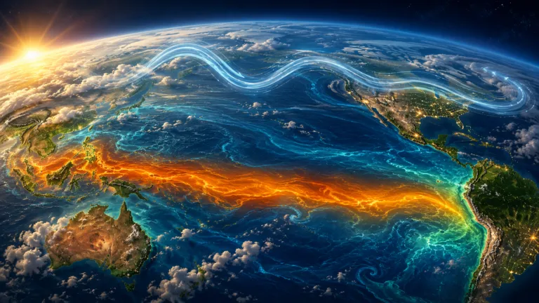
A strong El Niño is developing in the tropical Pacific and is expected to strengthen through the August–October period. El Niño represents a large-scale warming of portions of the equatorial Pacific Ocean capable of shifting atmospheric circulation and altering temperature and rainfall patterns across much of the planet.
Its effects are not identical everywhere.
Some regions become wetter. Others become drier. Tropical cyclone activity can shift between ocean basins. Jet-stream patterns can change. Existing heat and drought conditions can intensify in some areas while heavy precipitation becomes more likely elsewhere.
The World Meteorological Organization is also monitoring the possible development of a positive Indian Ocean Dipole, another large ocean-atmosphere pattern capable of influencing rainfall across Africa, Asia and Australia.
Neither phenomenon explains every storm, fire or flood occurring this month. Weather is far more complicated than that.
But these large-scale oceanic patterns provide important context for understanding why very different extremes can occur simultaneously across distant regions.
THE LARGER PATTERN | CONVERGENCE RATHER THAN A SINGLE EVENT
Perhaps the most important story of August is therefore not Hurricane Lala, Europe’s wildfires, Indiana’s flooding or China’s typhoon.
It is their convergence.
Across different parts of the planet, communities are simultaneously experiencing extraordinary heat, drought, wildfire, severe thunderstorms, tropical cyclones, monsoon rainfall, historic flooding and water shortages.
Some of these events are connected through large-scale atmospheric and oceanic patterns. Others are regional weather events occurring within very different environments. They should not automatically be treated as manifestations of a single cause. But neither should the broader pattern be ignored.
Weather and Earth-change awareness is ultimately about observation—not fear.
It means watching where conditions are changing, recognizing when familiar patterns begin behaving differently, understanding the larger forces influencing those changes, and remaining prepared when extremes move closer to home.
August 2026 offers a particularly vivid reminder.
While one part of the world watches rivers overflow their banks, another watches those same lifelines disappear.
While communities battle wildfire, others prepare for another tropical system. And while attention naturally gravitates toward the most dramatic event of the day, the larger story may be unfolding across all of them at once.
The signal is not necessarily one disaster. It is the convergence of extremes—and the importance of continuing to pay attention.
Sign up to receive Our Weekly Briefing Newsletter
Begin your journey with weekly insights designed to expand awareness and ground you in truth. Our free tier gives you a powerful introduction without any commitment.
STOP DROWNING IN THE NOISE. START SEEING THE TRUTH. Join over 99,000 truth seekers. Get the essential intelligence, alternative news, and disclosure updates that the mainstream media won’t touch.
Latest Reports
 Monthly ReportConscious Practices · October 2026 EditionOctober 5, 2026
 Weekly ReportAwakening The Sleeping Giant · October 5th EditionOctober 5, 2026
 Weekly ReportAwakening The Sleeping Giant · September 28th EditionSeptember 28, 2026
 Weekly ReportAwakening The Sleeping Giant · September 21st EditionSeptember 21, 2026View all weekly reports
Special Reports
 Special ReportTHE AWAKENING JOURNEY: Hero’s Journey Part II · Week 1October 3, 2026
 Special ReportGlobal Everything Collapse · Economic Chaos · Part IOctober 1, 2026
 Special ReportCreating A Conscious Culture · Part ISeptember 3, 2026
 Special ReportThe Great Healing: Detox, Defense & Sovereignty In an Engineered World · Part ISeptember 1, 2026View all special reports
Help Us Bypass Censorship. Share This.
Join the Discussion
Related Posts


Have questions?
At Great Awakening Report, we are dedicated to supporting your journey toward truth and enlightenment through our specialized Coaching and Consulting services.
Coaching Services: Our coaching programs are designed to guide you through personal awakening and transformation. We offer personalized sessions that focus on expanding consciousness, uncovering hidden truths, and fostering spiritual growth. Our experienced coaches provide the tools and insights necessary to navigate your path with clarity and confidence.
Consulting Services: For organizations and individuals seeking deeper understanding and strategic guidance, our consulting services offer expert analysis and solutions. We delve into areas such as global transitions, alternative news insights, and consciousness studies to provide comprehensive strategies tailored to your unique objectives.
Embark on a transformative journey with our Coaching and Consulting services, and unlock your highest potential. To learn more and schedule a session, visit our Coaching and Consulting pages.
Thank you
Thank you to our subscribers and readers for your continued support and dedication to truth and awakening. Your encouragement, engagement, and belief in our mission make everything we do possible. Together, we are expanding awareness and helping illuminate the path forward.
If you would like to further support the Great Awakening team and our ongoing efforts to share insight, knowledge, and truth, you can DONATE HERE.
With deep gratitude,
– Great Awakening Team
About the Author: Great Awakening Team

We are a community. We are cultural creatives and like minded people seeking the truth and focusing on disclosure, awakening and consciousness. Our focus is real news as researchers, reporters and truth seekers. We are here to teach, to spread the word, to serve and to help. We are a collective, a movement, free from all programing, not closed minded and not discriminatory. We are not political. We are not religious but we are spiritual. We study, research, and report on a wide range of subjects and topics, from the current geopolitical climate to health and wellness, from earth’s history to spiritual practices. We are forward thinkers and visionaries, we are guides for the transition as we usher in The Great Awakening.
THIS WEBSITE DOES NOT PROVIDE MEDICAL ADVICE: The information, including but not limited to text, graphics, images, and other material contained on this website, are for informational purposes only. No material on this site is intended to be a substitute for professional medical advice, diagnosis, or treatment. Always seek the advice of your physician or other qualified health care provider with any questions you may have regarding a medical condition or treatment and before undertaking a new health care regimen, and never disregard professional medical advice or delay in seeking it because of something you have read on this website.
DISCLAIMER: All statements, claims, views and opinions that appear anywhere on this site, whether stated as theories or absolute facts, are always presented by The Great Awakening Report (GAR) as unverified—and should be personally fact checked and discerned by you, the reader.Any opinions or statements herein presented are not necessarily promoted, endorsed, or agreed to by GAR, those who work with GAR, or those who read or subscribe to GAR.Any belief or conclusion gleaned from content on this site is solely the responsibility of you the reader to substantiate.Any actions taken by those who read material on this site are solely the responsibility of the acting party.You are encouraged to think for yourself and do your own research.Nothing on this site is meant to be believed without question or personal appraisal.
COPYRIGHT DISCLAIMER: Citation of articles and authors in this report does not imply ownership. Works and images presented here fall under Fair Use Section 107 and are used for commentary on globally significant newsworthy events. Under Section 107 of the Copyright Act 1976, allowance is made for fair use for purposes such as criticism, comment, news reporting, teaching, scholarship, and research.
COMMUNITY GUIDELINES DISCLAIMER: The points of view and purpose of this video is not to bully or harass anybody, but rather share that opinion and thoughts with other like-minded individuals curious about the subject.